County News
Not thirsty
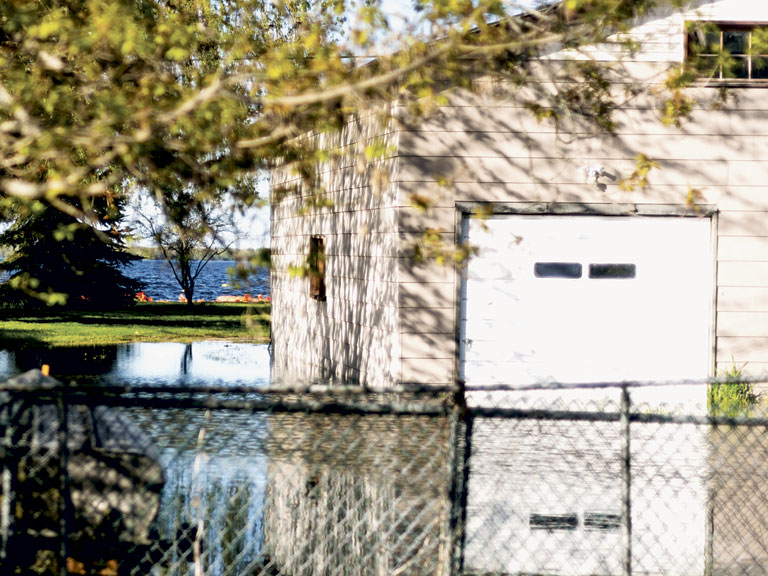
The lake is full, but the water keeps on coming
Across the country, stories of flooding have turned to the aftermath of massive storms and ice melts that have left communities destroyed. Discussion has become about how to clean up and what lessons to learn.
But in Prince Edward County and along the shoreline of Lake Ontario, some residents are still bracing for the worst.
As water from the north recedes, it has been gathering in the Moira and Trent watersheds and emptying into Lake Ontario. The result has been some of the highest water the Lake and the Bay of Quinte have seen. On Thursday morning the water reached its 100-year flood level, a benchmark for how high the water will rise for the purposes of safe building and infrastructure practices. Quinte Conservation estimates the water level will rise another six inches before it begins its normal decline in June. Already, the rising water has turned backyards into fish ponds and overwhelmed sump pumps on waterfront properties.
Sandbags are available in Picton and Ameliasburgh. Volunteers have been visiting the sites to help fill the bags and load them on trucks headed to areas already inundated with water. The orange bags are visible along some shoreline properties.
The County has created a page on the municipality’s website with resources that include how to build a sandbag wall and what to do if your septic tank or well get flooded.
The threat of rising water has also prompted the County to declare a state of emergency. A state of emergency helps the County enable its emergency protocol, be eligible for disaster relief funds, if such money becomes necessary, and even gives police the power to enter a home without a warrant if necessary.
Despite concerns from residents and visitors about what the declaration means, planning manager Robert McAuley says the effect to most in the County is minimal. No streets have been closed, although some smaller and seasonal roads, especially those near the water, may be underwater. Several public boat launches have been closed because of the high water level, as has the break wall in the Wellington channel and the sea wall at the Wellington Park. Except for homes and buildings beside the Lake and on floodplains, there is no potential for danger.
“If we have to mobilize volunteers, and we have to make the general callout of assistance or bring in specialized equipment or any of that, it’s easier with a state of emergency in place,” says McAuley. “Plus, there’s monetary considerations.”
There are some residences that are in danger, however. In Rossmore and near Weller’s Bay, orange sandbags line homes as lawns have turned to ponds.
County staff have been going door to door, making sure residents are fine, and ensuring they know where elderly or disabled people live in areas in danger in case they need to mobilize volunteers to help build sandbag dams.
“The flood regulations of the past 50 years have done a good job of keeping new houses away,” says McAuley. “But we have almost 400 properties that are impacted, and between three quarters and two thirds of them have houses on them. So there’s a lot of houses at risk.”
McAuley does assure that some of the catastrophic damage other communities have seen won’t happen here because of the nature of the water.
“It’s not like they’re going to be washed away. This isn’t like a river that’s raging along, taking houses off of foundations. This is a slow rise. So there’s time to react.”
While County staff and volunteers will do what they can to help those affected by extraordinarily high water levels, McAuley says that for those wary of future damage, it’s important to know where you are. The County has a geographic information system (GIS) map that can let residents know whether their homes are in a floodplain. For home buyers, this tool is a necessary part of research.
“It falls to the due diligence of the owner. If you have water on or next to the property that you’re going to buy, you should be inquiring about, what does the floodplain mapping look like, so you don’t get surprised,” says McAuley.
McAuley says that because there is no way to know when and if volunteer and funding will be needed, the state of emergency will remain in place until there is certainty any danger has passed.
Comments (0)